

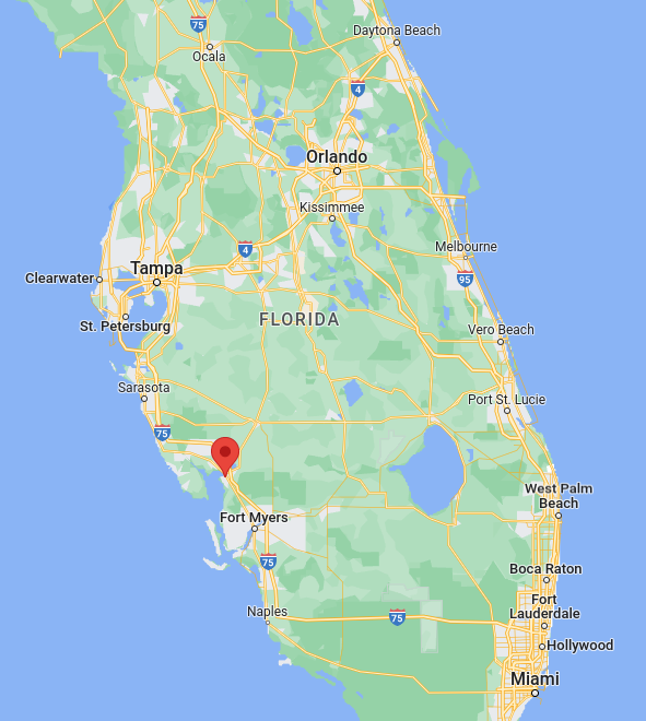
What a difference 24 hours makes. In yesterday’s post the National Hurricane Center had Ian making landfall at (or near) Cedar Key, north of Tampa. Tonight Ian’s path has changed drastically such that it now looks like it will make landfall south of Tampa around Punta Gorda, about half way between Sarasota and Fort Myers. Then it seems to head north-north-east. If it keeps to the current forecast track then it will deliver misery to Jacksonville and the Savannah/Brunswich Georgia area, and maybe even Charleston, South Carolina.
At this point in time all we can do is wait. The rain forecast was been pushed back a good six hours; it was supposed to arrive at 1pm, instead arriving around 7pm. Right now it’s a very light drizzle, and there’s no wind blowing. It’s quiet, and a bit eerie. My wife and I have taken care of all that we can, including getting all our medications refilled. I have water on hand, and plenty of other supplies, especially for the animals. All we can do now is wait and ride it out when Ian finally arrives.


You must be logged in to post a comment.